Beijing Urumqi Kargilik

The Trek
Kashgar Turpan Xian Flora & Fauna Photo Album

Maps


These images were produced using NASA's free World Wind software.

Click on the images below to get a full-screen, detailed map.

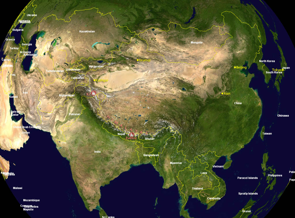
A map of China showing K2 and the cities we will visit.

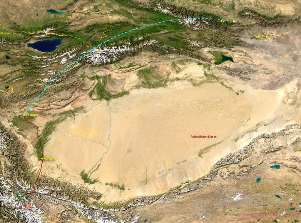
The Xinjiang province with our route indicated.

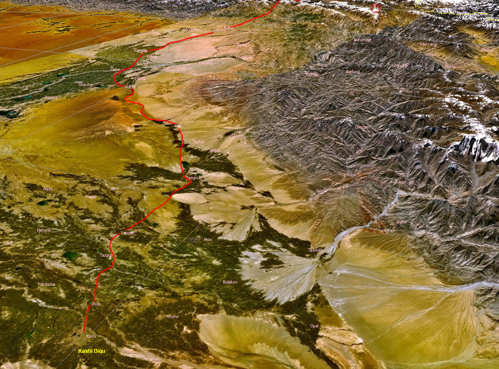
Oblique view of Xinjiang with our driving route.

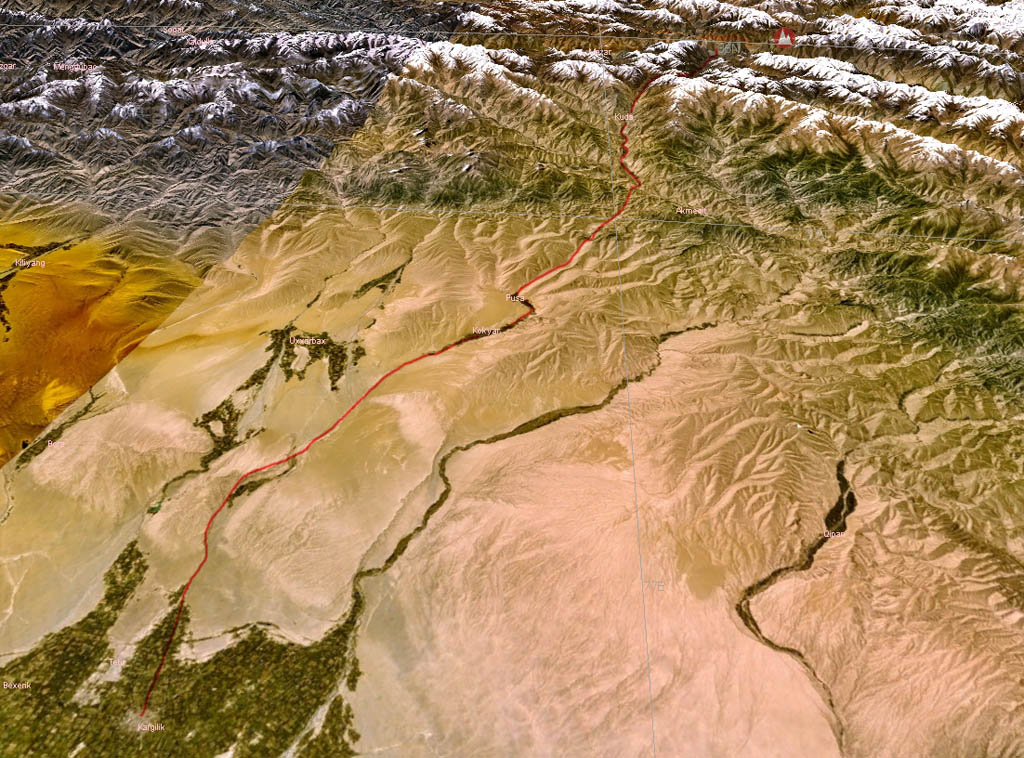
The southern end of our driving route.

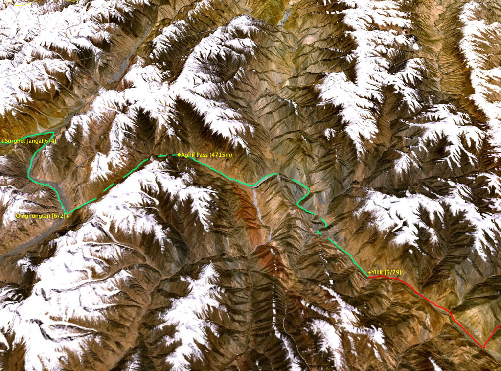
The first two thirds of our trek.

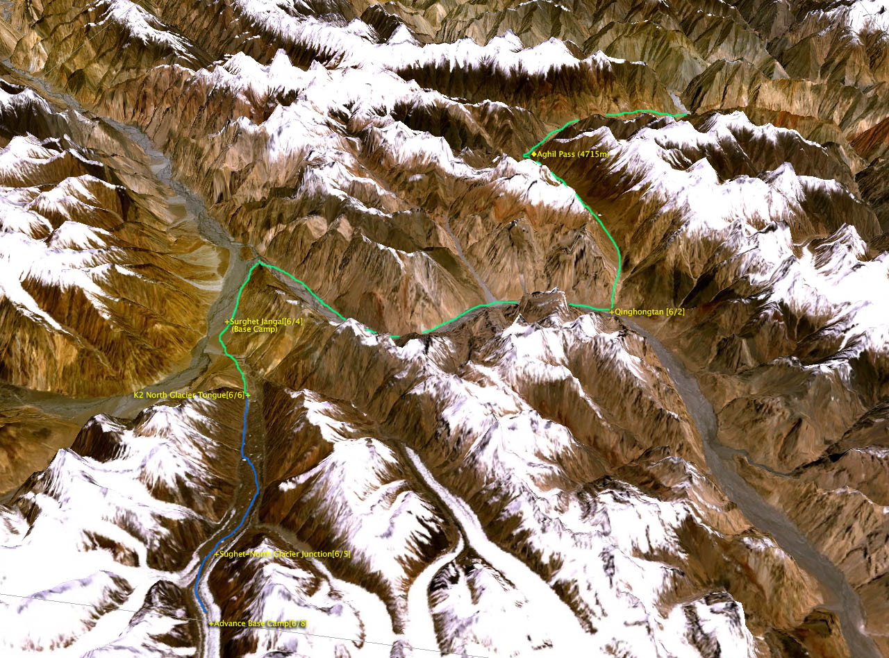
The second two thirds of our trek.

Copyright © 2005 Rick Rocheleau. All rights reserved.